

LEONIDA CARTOGRAPHY2.5x Scale of Los Santos· Interactive Satellite GIS
State of Leonida Map & Districts
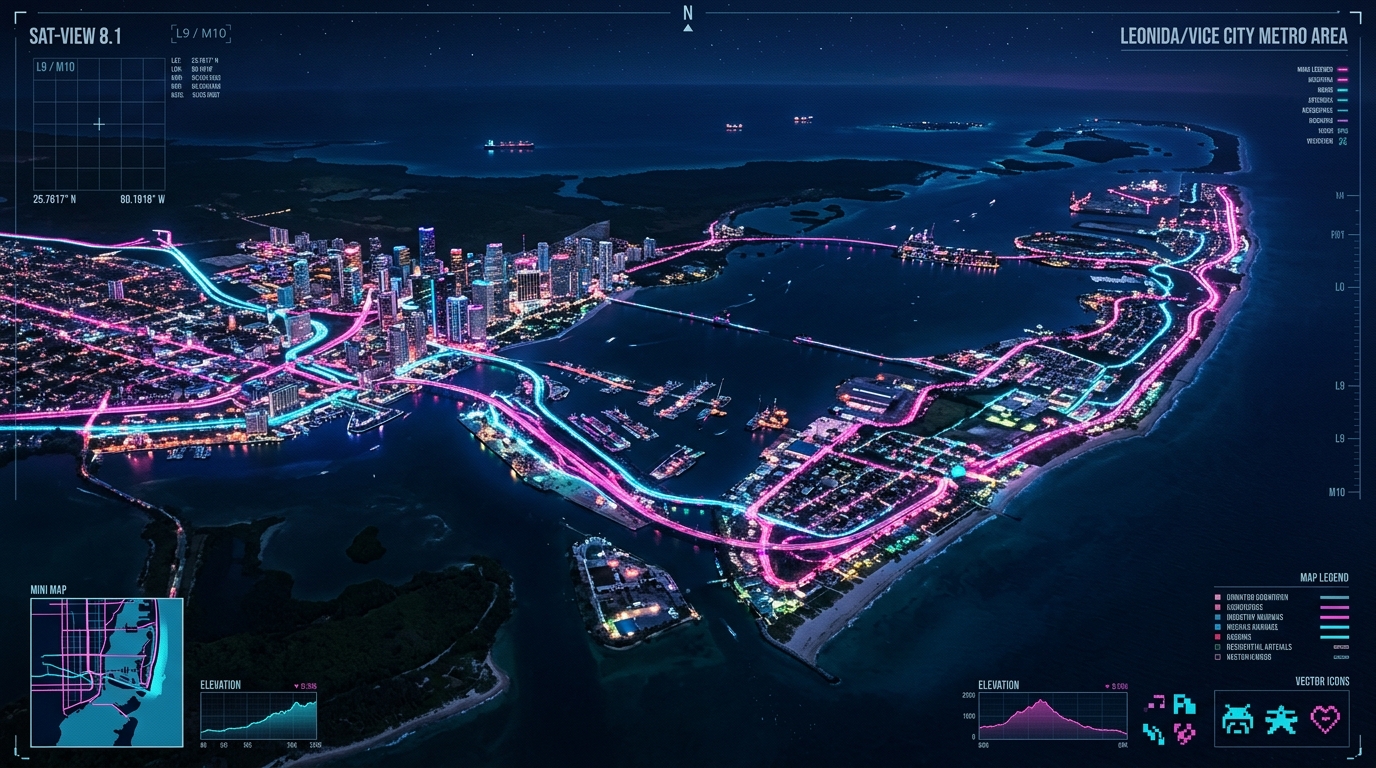
High-fidelity geographic telemetry spanning the neon streets of Vice City, the Port Gellhorn industrial corridor, and the untamed Grassrivers wetlands. Click any location pin on the map or select a district to inspect cartographic coordinates.
Confirmed Geographic Districts
5 ZONES VERIFIEDCARTOGRAPHIC INSTRUCTIONS
Click any marker directly on the physical map to target that sector. Use the zoom controls in the corner to inspect high-density Vice City corridors or switch to Tactical Radar mode.
SAT-VIEW 8.1 // LEONIDA METRO
TARGET:LAT: 32.4° N · LON: 42.8° W
▲ N|5 KM